Note: this page is from a time before amazing services such as Google Maps became available. From todays point of view it's no longer that useful, but some people still like it for various purposes.
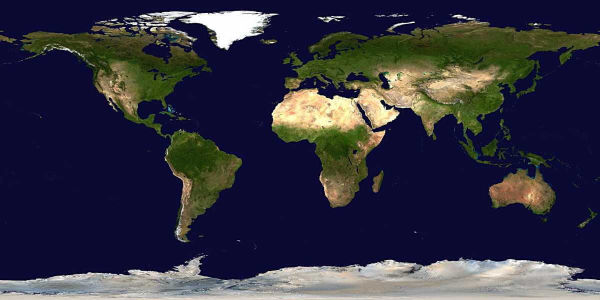
New Blue Marble available: The image below is based on the original Blue Marble data (2002). A newer version of Blue Marble have become available since, with improved accuracy, colors and resolution.
Below is a scaled-down version of the full Blue Marble image of the earth. You can click on it to see a part of it in full resolution. With javascript enabled, a red rectangle will follow your mousepointer, indicating the exact part that will be shown on clicking. The full resolution is 43200x21600 pixels (this is equivalent to roughly 1 square km per pixel near the equator), shown here as 36x24 tiles with 1200x900 pixels each.
Links: Current NASA Bluemarble site with many more images (clouds, ice etc.).
Download: You can download the full-resolution image as a zip-file containing a copy of this page with all tiles, or as a single 50MB jpg (the original consisted of 2 TIFF-images with 650 MB): Download